- Name
- LANDSAT 8
- Alternate Names
- Landsat Data Continuity Mission
- Satellite ID
- VFID-6070-7308-8164-6890
- NORAD ID
- 39084
- Website
- https://landsat.gsfc.nasa.gov/satellites/landsat-8/
- Country of Origin
-
United States of America
Satellite is in orbit and operational
- Launch Date
- 2013-02-11T00:00:00+00:00
- Deploy Date
- 2013-02-11T00:00:00+00:00
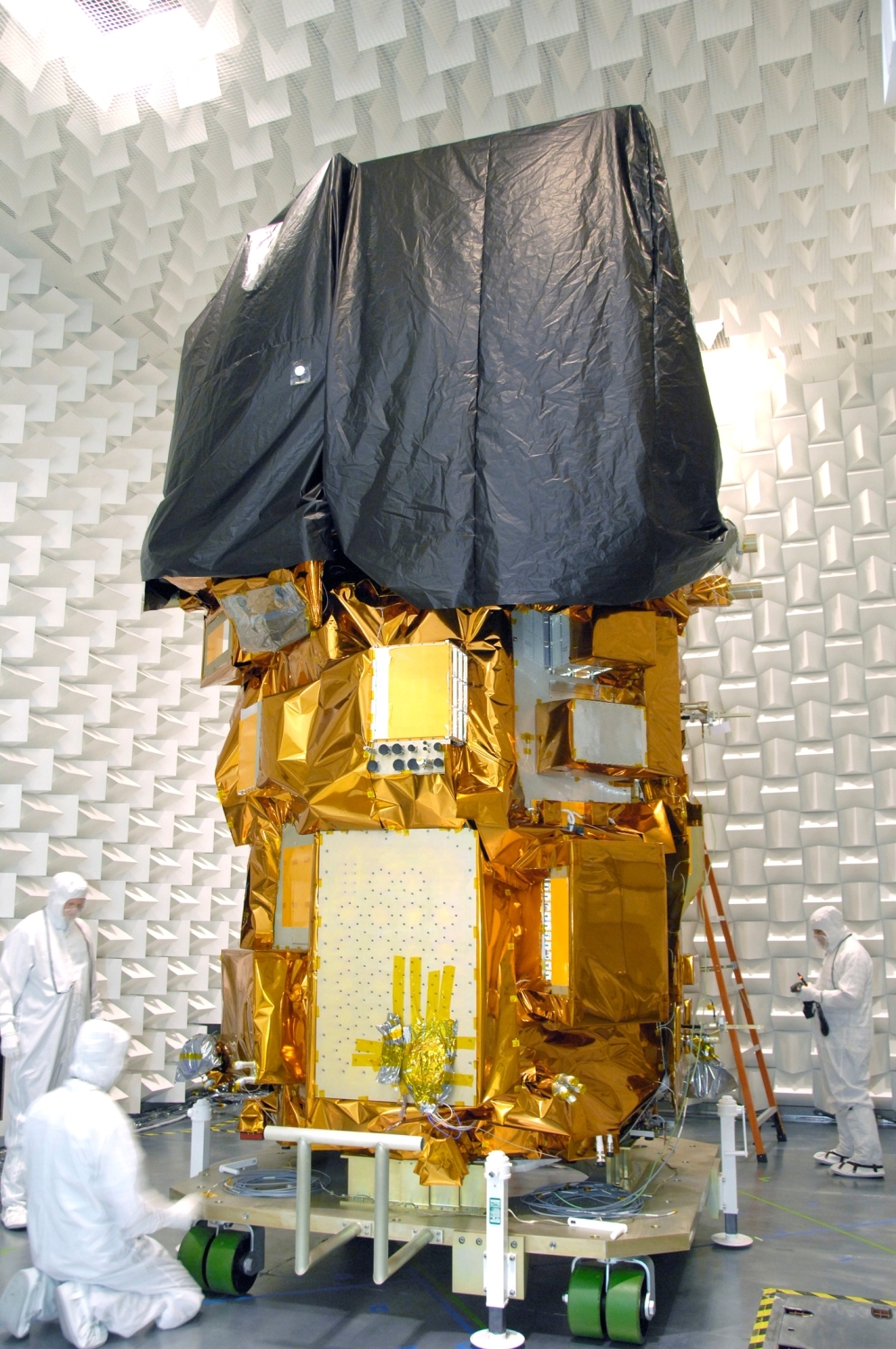
The Landsat 8 satellite payload consists of two science instruments—the Operational Land Imager (OLI) and the Thermal Infrared Sensor (TIRS). These two sensors provide seasonal coverage of the global landmass at a spatial resolution of 30 meters (visible, NIR, SWIR); 100 meters (thermal); and 15 meters (panchromatic). Landsat 8 was developed as a collaboration between NASA and the U.S. Geological Survey (USGS). NASA led the design, construction, launch, and on-orbit calibration phases, during which time the satellite was called the Landsat Data Continuity Mission (LDCM). On May 30, 2013, USGS took over routine operations and the satellite became Landsat 8. USGS leads post-launch calibration activities, satellite operations, data product generation, and data archiving at the Earth Resources Observation and Science (EROS) center.
Landsat 8 instruments represent an evolutionary advance in technology. OLI improves on past Landsat sensors using a technical approach demonstrated by a sensor flown on NASA’s experimental EO-1 satellite. OLI is a push-broom sensor with a four-mirror telescope and 12-bit quantization. OLI collects data for visible, near infrared, and short wave infrared spectral bands as well as a panchromatic band. It has a five-year design life. The graphic below compares the OLI spectral bands to Landsat 7′s ETM+ bands. OLI provides two new spectral bands, one tailored especially for detecting cirrus clouds and the other for coastal zone observations.
- Type
- Transmitter
- Downlink Mode
- FM
- Downlink Frequency
- 2282300000
No observations recorded for LANDSAT 8 in the last 24h
- TLE Source
- Space-Track.org
- TLE Updated
- 2026-03-31 19:20:08 UTC
- TLE Set
-
1 39084U 13008A   26090.56580890  .00000513  00000-0  12383-3 0  9993
2 39084  98.1880 161.9283 0001195  95.1577 264.9758 14.57131246686599