Suggested Edit for Satellite
Suggested by fredy on: 2024-11-04 22:24
Citation: Change Status
Verdict: Approved
Reviewed by - on: 2024-11-04 22:25
| Name | Polytech Universe-4 |
| NORAD ID | 98776 |
| Followed NORAD ID | - |
| Alternative Names | RS71S |
| Description | The spacecraft is designed to measure the level of electromagnetic radiation in the frequency range of 0.1-18 GHz to create territorial maps of the distribution of these levels as part of long-term analysis and study of statistical measurement results. Remote sensing of the Earth in the optical range, obtaining photographs of the earth's surface with a resolution of ~5 m/pix. Due to the ability to link the received data to geographic coordinates, the information that the payload module will provide can be used to create maps of the distribution of the level of electromagnetic radiation from the Earth's surface. |
| Owner/Operator | - |
| Status |
|
| Countries of Origin | |
| Website | https://spacepi.space/satellites/politeh-yunivers-4/ |
| Dashboard URL | - |
| Launch Date | Nov. 4, 2024, 11:18 p.m. |
| Deploy Date | - |
| Image | 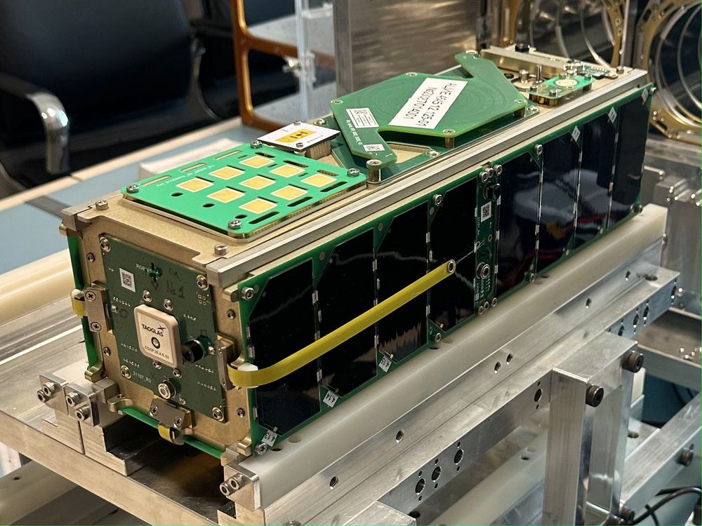 |
| Field | Previous | Suggested |
|---|---|---|
| Status |
|
|